Accedi
Tutte le risorse
Creare un design
Tools
4.950 Immagini gratuite per Le Scale
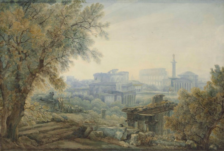
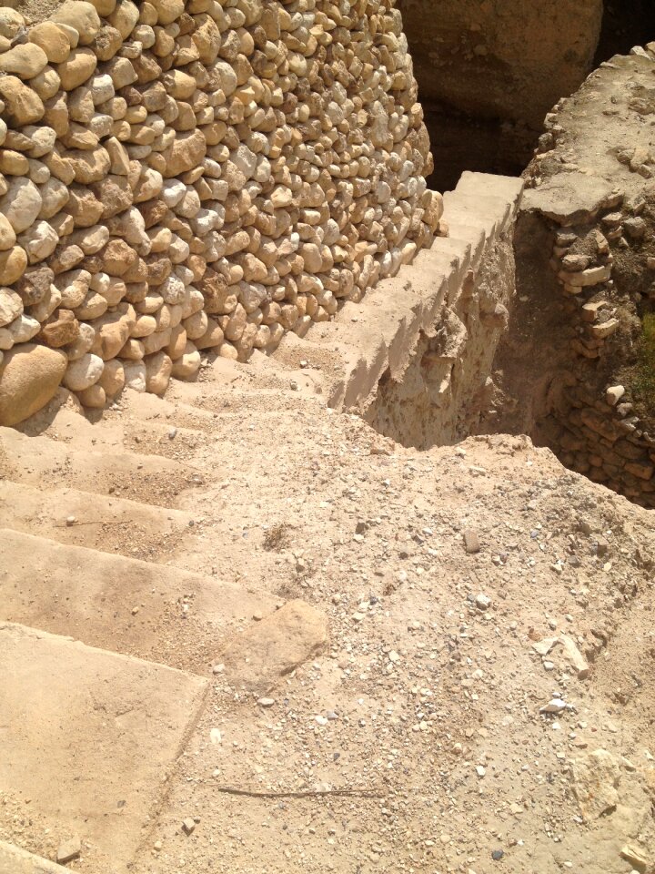
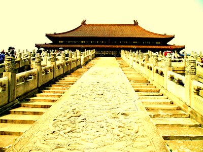
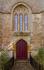
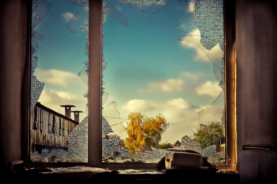
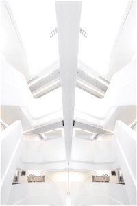
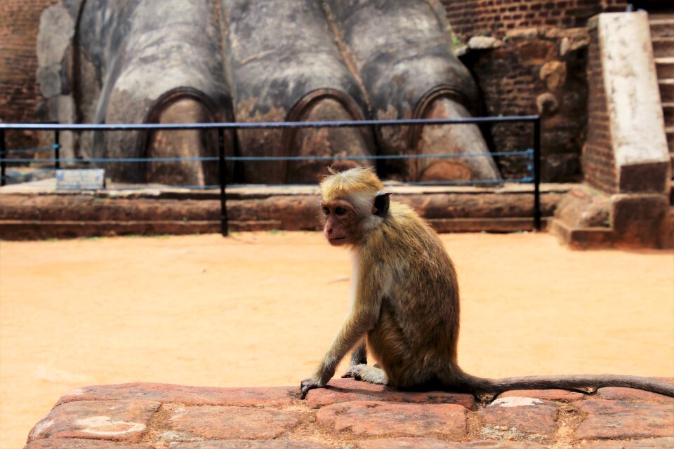
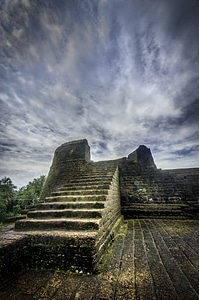
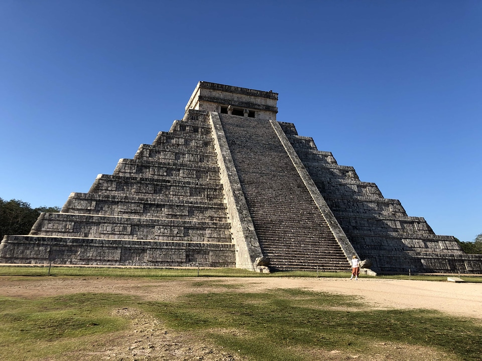
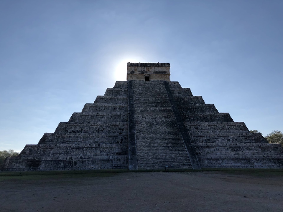
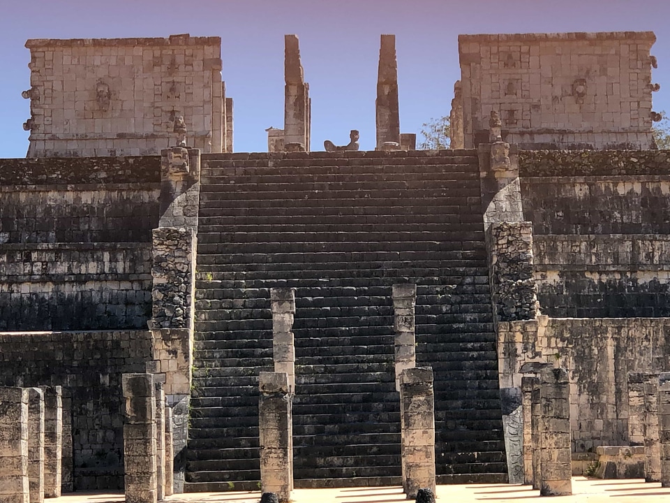
architettura
edificio
storia
vecchio
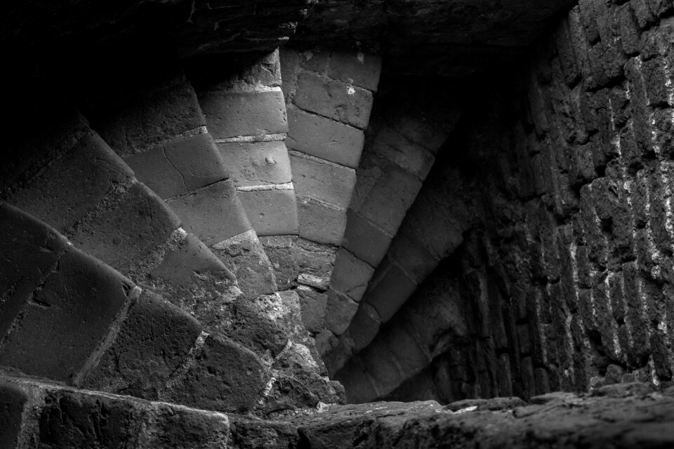
pietre
storico
monumenti
antico
esterni e aria aperta
viaggio
interrogazione
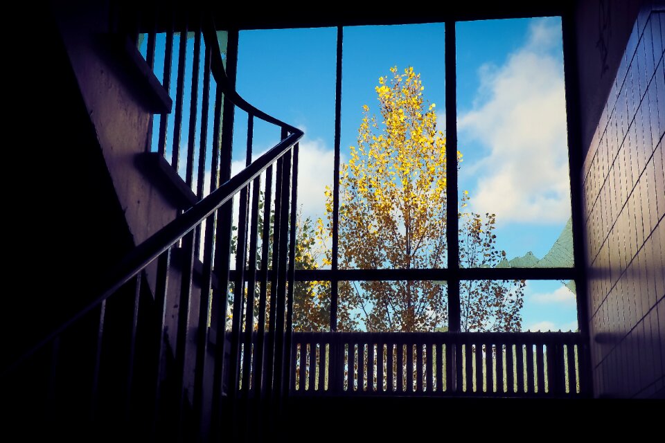
luce
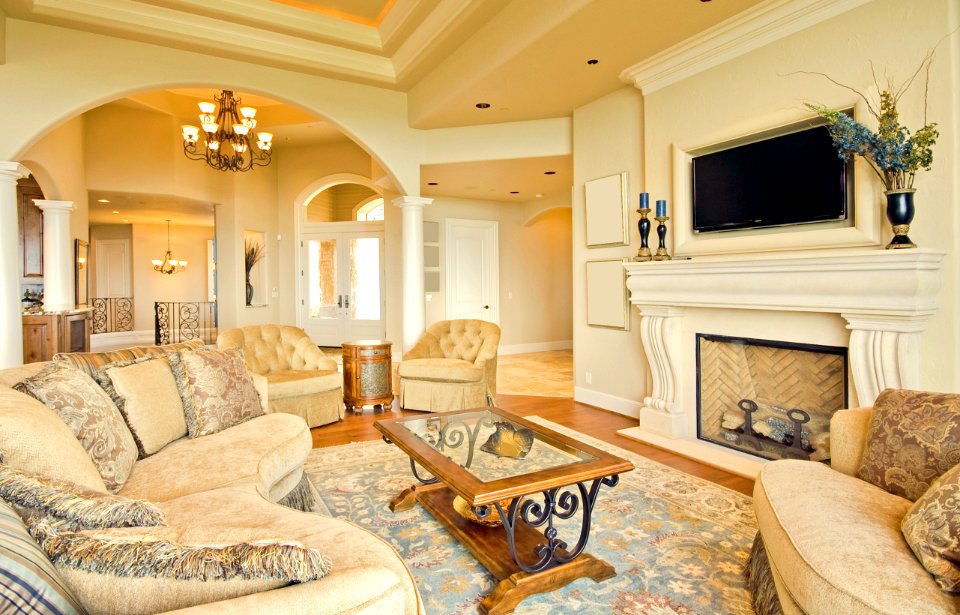
tappeto
piante
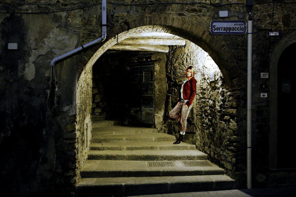
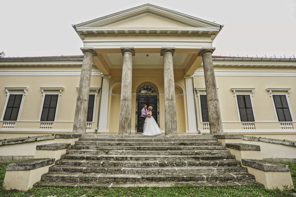
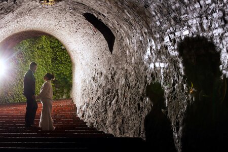
uomo e donna
donna
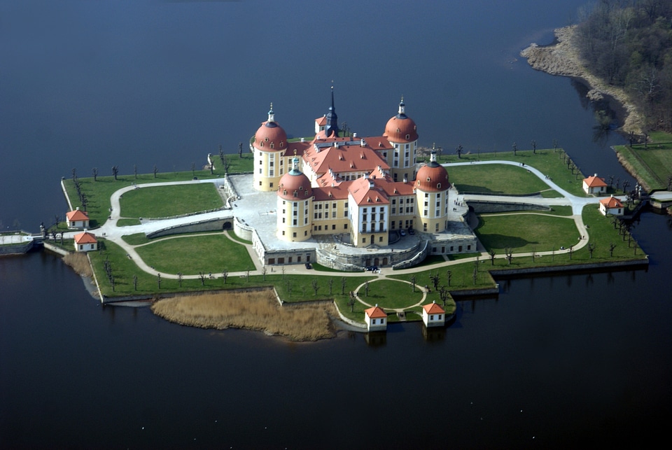
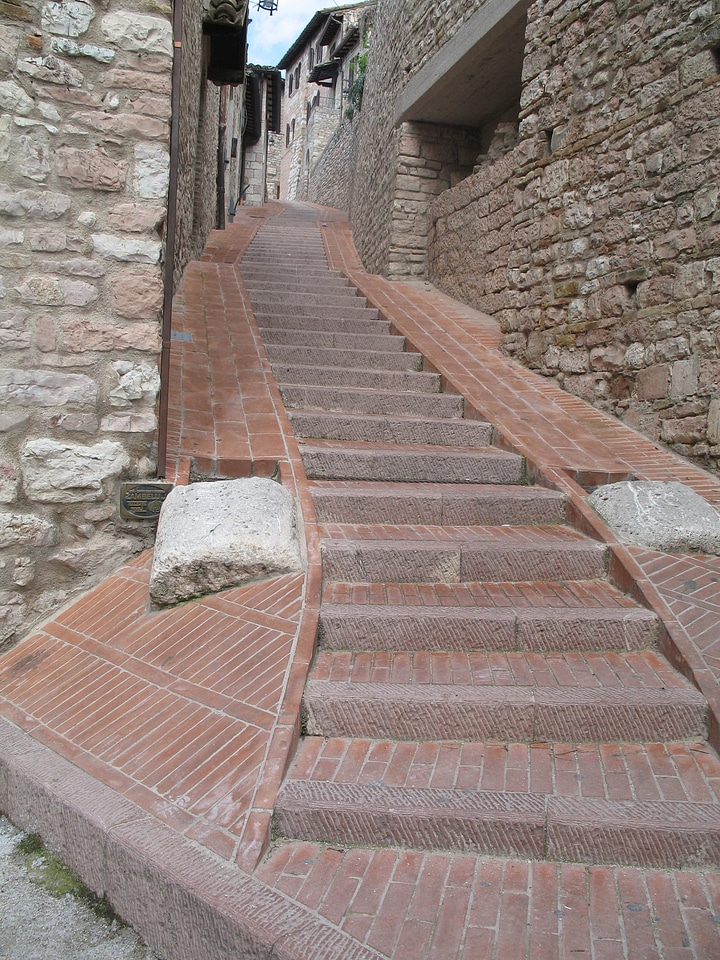
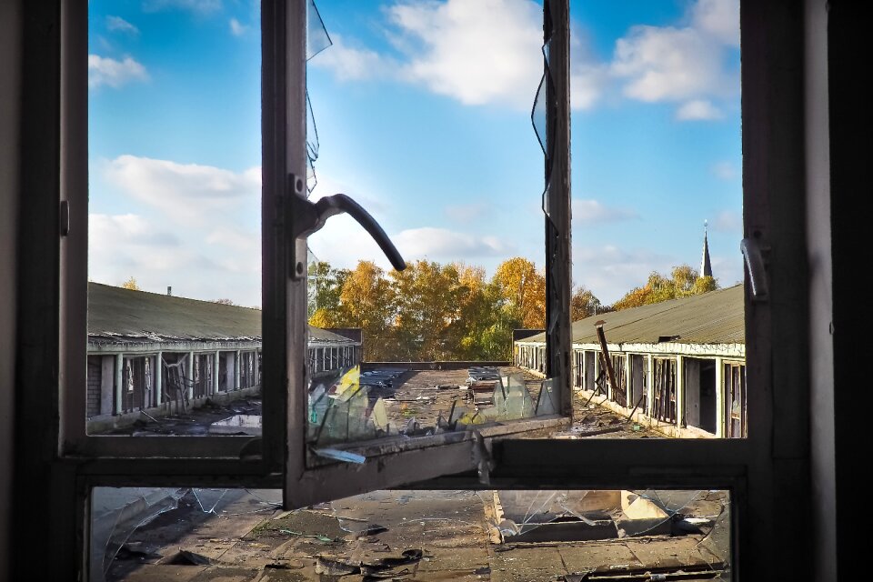
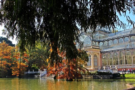
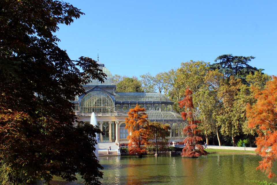
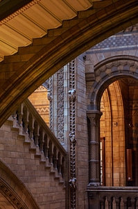
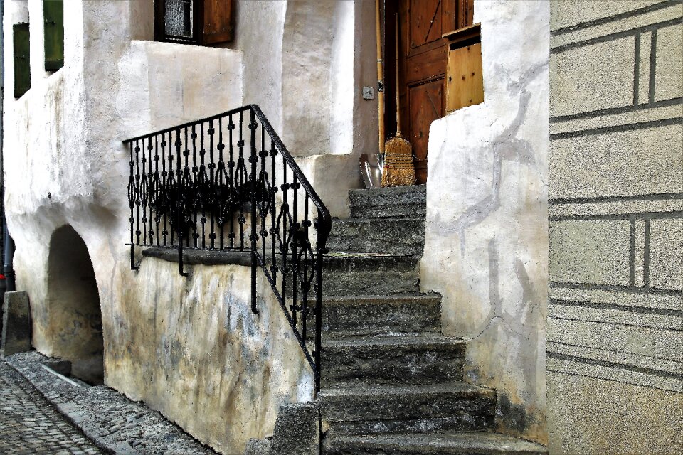
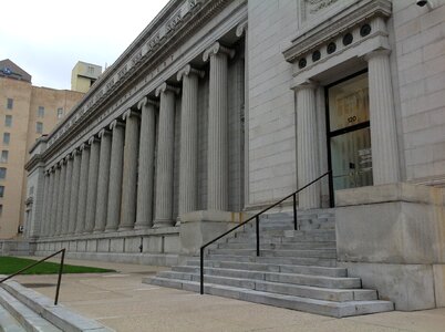
edificio
pietre
edificio
viaggio
edificio
viaggio
scuola
treno
interrogazione
luce
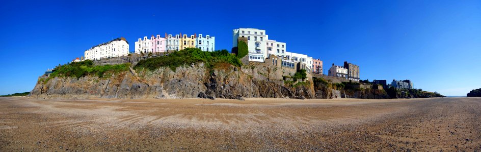
paesaggio
mare
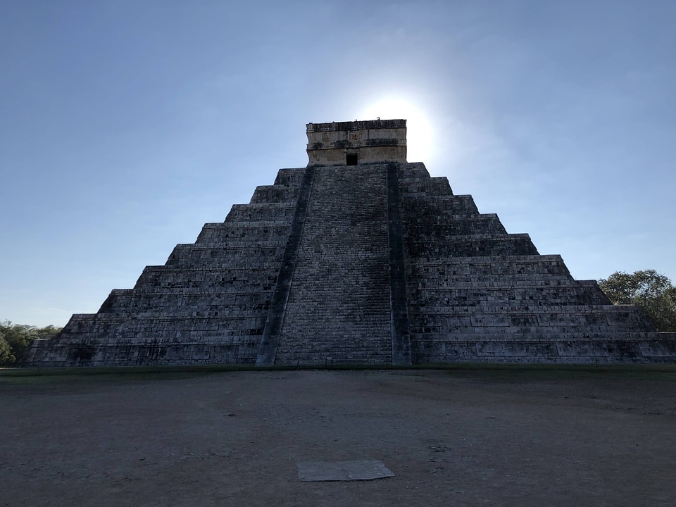
edificio
viaggio
viaggio
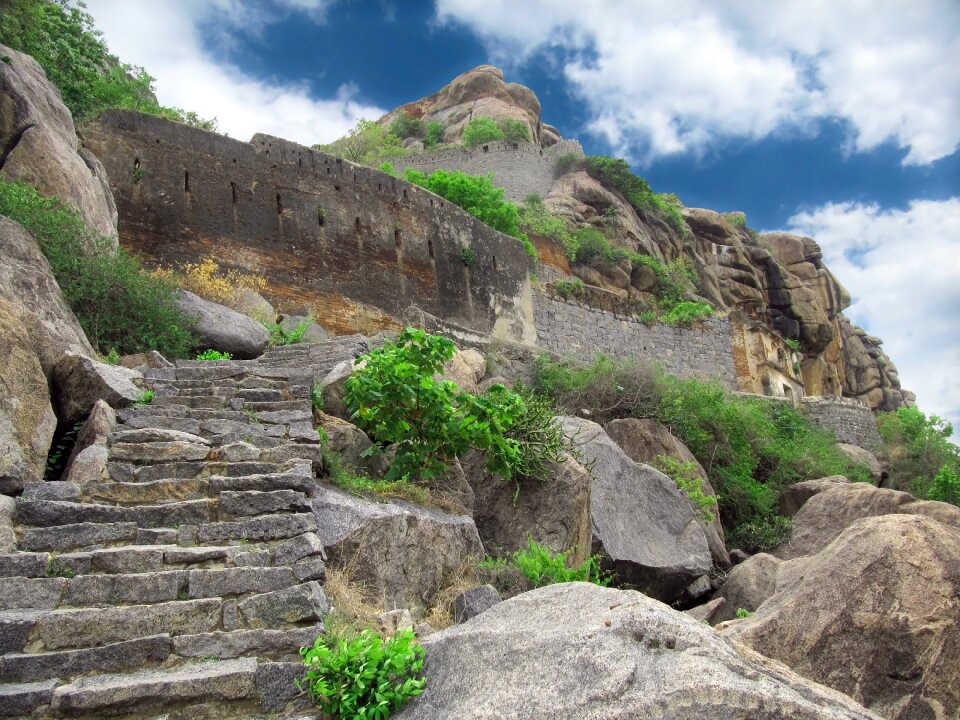
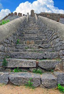
pietre
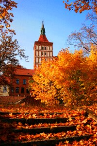
edificio
albero
scuola
treno
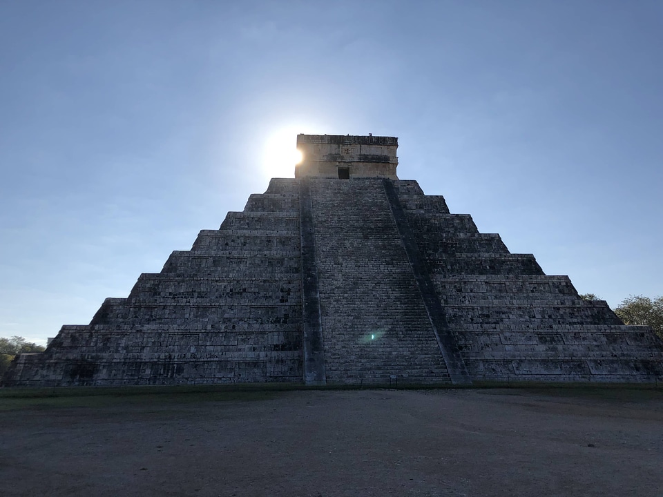
edificio
albero
paesaggio
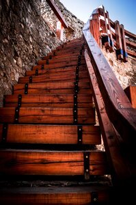
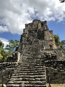
edificio
viaggio
natura
viaggio
pietre
edificio
mobilia
modello
sfondo
abbigliamento
fantasma
abbigliamento
fantasma
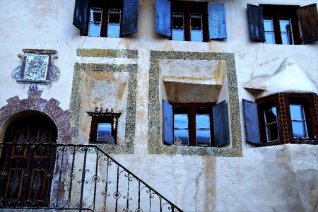
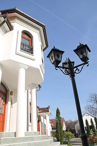
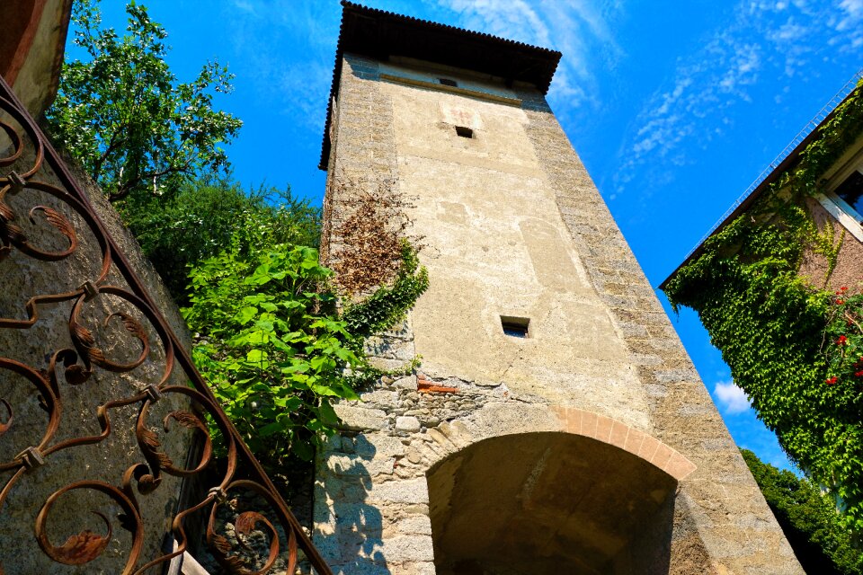
edificio
casa
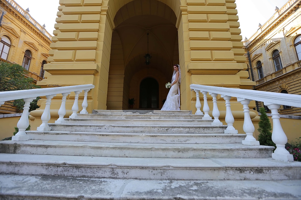
edificio
viaggio
edificio
albero
paesaggio
edificio
paesaggio
edificio
abbigliamento
fantasma
sfondo
scarpe
abbigliamento
fantasma
edificio
albero
personaggi
paesaggio
bambini
impresa
edificio
pietre
paesaggio
albero
edificio
viaggio
edificio
albero
edificio
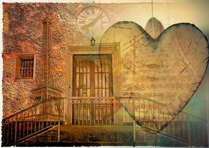
simbolo
sfondo
cuore
abbigliamento
fantasma
paesaggio
viaggio
edificio
città
animali
sfondo
paesaggio
albero
paesaggio
edificio
abbigliamento
fantasma
paesaggio
albero
edificio
pietre
paesaggio
edificio
acqua
città
paesaggio
edificio
ornamenti
edificio
edificio
pietre
albero
libro
ornamenti
edificio
paesaggio
verdure
edificio
pietre
pietre
storia
edificio
viaggio
edificio
pietre
paesaggio
edificio
4801 - 4900 di 4.950
Pagina successiva
/ 50

![Special map of the surroundings of Paris / By Mess[ieu]rs of the Royal Academy of Sciences in the year 1674; engraved by F. de la Pointe, 1678](https://cdn.creazilla.com/illustrations/10001486678/special-map-of-the-surroundings-of-paris-by-messieurs-of-the-royal-academy-of-sciences-in-the-year-1674-engraved-by-f-de-la-pointe-1678-sm.webp)

![Special map of the surroundings of Paris / By Mess[ieu]rs of the Royal Academy of Sciences in the year 1674; engraved by F. de la Pointe, 1678](https://cdn.creazilla.com/illustrations/10001139298/special-map-of-the-surroundings-of-paris-by-messieurs-of-the-royal-academy-of-sciences-in-the-year-1674-engraved-by-f-de-la-pointe-1678-sm.webp)
![Special map of the surroundings of Paris / By Mess[ieu]rs of the Royal Academy of Sciences in the year 1674; engraved by F. de la Pointe, 1678](https://cdn.creazilla.com/illustrations/10000776389/special-map-of-the-surroundings-of-paris-by-messieurs-of-the-royal-academy-of-sciences-in-the-year-1674-engraved-by-f-de-la-pointe-1678-sm.webp)


![Special map of the surroundings of Paris / By Mess[ieu]rs of the Royal Academy of Sciences in the year 1674; engraved by F. de la Pointe, 1678](https://cdn.creazilla.com/illustrations/10000844188/special-map-of-the-surroundings-of-paris-by-messieurs-of-the-royal-academy-of-sciences-in-the-year-1674-engraved-by-f-de-la-pointe-1678-sm.webp)